[{"id":198659375259,"handle":"australian-made","updated_at":"2025-05-10T19:40:01+10:00","published_at":"2020-05-31T22:29:12+10:00","sort_order":"manual","template_suffix":"","published_scope":"global","title":"Australian Made","body_html":"\u003cp\u003e\u003cspan\u003eExplore the essence of Australia with our curated collection of Australian-made products at Adventure Awaits. Immerse yourself in the unique craftsmanship, quality, and innovation that define the spirit of the Land Down Under. From sustainable goods to handcrafted treasures, each item in our collection tells a story of authenticity and adventure. Elevate your journey with products that capture the heart and soul of Australia, proudly crafted and sourced locally. Discover the best of Australian-made excellence – because every adventure should be as unique as the land it comes from.\u003c\/span\u003e\u003c\/p\u003e\n\u003cp\u003eIncluding our own Aussie made products - Travel Journal, Caravan\/Camper Log Book, Map of Australia Stickers \u0026amp; our award winning Slide n' Dry Pegless Clotheslines.\u003c\/p\u003e\n\u003cp\u003eYou can also check out all our products \u0026amp; gift ideas in our \u003ca href=\"https:\/\/www.adventureawaits.com.au\/collections\/australiana-themed\" target=\"_blank\"\u003eAustraliana Themed collection!\u003c\/a\u003e\u003c\/p\u003e","image":{"created_at":"2020-05-31T22:31:51+10:00","alt":null,"width":2000,"height":2000,"src":"\/\/www.adventureawaits.com.au\/cdn\/shop\/collections\/australian_made_products.jpg?v=1737788463"}},{"id":201717448859,"handle":"australiana-themed","updated_at":"2025-05-10T19:40:01+10:00","published_at":"2020-06-19T11:34:47+10:00","sort_order":"best-selling","template_suffix":"","published_scope":"global","title":"Australiana Theme","body_html":"\u003cp\u003eWe love our sunburnt country and we hope you love our collection of AUSTRALIANA themed goodies \u0026amp; gifts for the whole family.\u003c\/p\u003e\n\u003cp\u003eYou can also check out our \u003ca href=\"https:\/\/www.adventureawaits.com.au\/collections\/australian-made\" target=\"_blank\" rel=\"noopener noreferrer\"\u003eAustralian MADE collection here...\u003c\/a\u003e\u003c\/p\u003e","image":{"created_at":"2024-08-27T20:05:12+10:00","alt":null,"width":653,"height":653,"src":"\/\/www.adventureawaits.com.au\/cdn\/shop\/collections\/retro_cloth.png?v=1724756051"}},{"id":199904624795,"handle":"caravan-accessories","updated_at":"2025-05-10T19:40:01+10:00","published_at":"2020-06-08T20:43:15+10:00","sort_order":"manual","template_suffix":"","published_scope":"global","title":"Caravan Accessories","body_html":"\u003cp\u003eOur Caravan Accessories collection started with our Aussie made Caravan\/Camper Log Books \u0026amp; Slide n' Dry Pegless Clotheslines and then it GREW as we kept finding products that were awesome, practical, high quality \u0026amp; useful. \u003c\/p\u003e\n\u003cp\u003eYou can also find some extra unique \u003ca href=\"https:\/\/www.adventureawaits.com.au\/collections\/unique-caravan-gifts\" target=\"_blank\" rel=\"noopener noreferrer\"\u003eCaravan Gift ideas here...\u003c\/a\u003e\u003c\/p\u003e"},{"id":201735798939,"handle":"caravanning-camping","updated_at":"2025-05-10T19:40:01+10:00","published_at":"2020-06-19T11:34:47+10:00","sort_order":"manual","template_suffix":"","published_scope":"global","title":"Caravanning \u0026 Camping","body_html":"\u003ch2\u003eEmbark on a journey of discovery with our handpicked selection of unique caravanning and camping accessories at Adventure Awaits.\u003c\/h2\u003e\n\u003cp\u003eElevate your outdoor experiences with innovative and practical gear designed to enhance every aspect of your adventure. From compact and lightweight solutions to stylish and functional accessories, our collection is a testament to the spirit of exploration. Adventure Awaits is your online destination for exclusive camping essentials that combine convenience, quality, and a touch of wanderlust. Make your next camping trip extraordinary with accessories as unique as your journey.\u003c\/p\u003e\n\u003cp\u003eMake your adventure complete with our Australian made caravan essentials - including Slide n' Dry Pegless Clotheslines, Caravan Log Books \u0026amp; more.\u003c\/p\u003e"},{"id":416559694045,"handle":"everything-excluding-onsale","title":"EVERYTHING excluding ONSALE","updated_at":"2025-05-10T19:40:01+10:00","body_html":"","published_at":"2023-03-19T20:35:31+11:00","sort_order":"created-desc","template_suffix":"","disjunctive":false,"rules":[{"column":"tag","relation":"equals","condition":"ALL"}],"published_scope":"web"},{"id":269851459776,"handle":"fathers-day","updated_at":"2025-05-10T19:40:01+10:00","published_at":"2021-05-25T21:23:17+10:00","sort_order":"manual","template_suffix":"","published_scope":"global","title":"Father's Day","body_html":"\u003cdiv\u003e\n\u003cdiv dir=\"auto\"\u003e\n\u003cdiv\u003e\n\u003cdiv\u003e\n\u003cp\u003e\u003cspan style=\"font-size: 0.875rem;\"\u003eWe've got your Dad, Grandad, Pa, Pop, Special Fella's Father's Day Gift sorted with our huge range of fantastic, fun and practical products - guaranteed to put a smile on their face this Father's Day! We've picked over 500 of the BEST!!\u003c\/span\u003e\u003cbr\u003e\u003c\/p\u003e\n\u003c\/div\u003e\n\u003c\/div\u003e\n\u003c\/div\u003e\n\u003c\/div\u003e\n\u003cp\u003eFrom \u003ca href=\"https:\/\/www.adventureawaits.com.au\/collections\/alcoholder\/products\/alcoholder-stubzero-can-stubby-cooler-available-in-six-colours\" rel=\"noopener noreferrer\" target=\"_blank\"\u003eStubby Coolers\u003c\/a\u003e to \u003ca href=\"https:\/\/www.adventureawaits.com.au\/collections\/ticket-to-the-moon-hammocks-and-straps\" rel=\"noopener noreferrer\" target=\"_blank\"\u003eHammocks\u003c\/a\u003e, From \u003ca href=\"https:\/\/www.adventureawaits.com.au\/search?q=beard\" rel=\"noopener noreferrer\" target=\"_blank\"\u003eBeard Shampoo\u003c\/a\u003e to \u003ca href=\"https:\/\/www.adventureawaits.com.au\/products\/tooletries-the-back-scrubber?_pos=1\u0026amp;_sid=7f27d3916\u0026amp;_ss=r\" rel=\"noopener noreferrer\" target=\"_blank\"\u003eBack Scrubber\u003c\/a\u003es, From\u003ca href=\"https:\/\/www.adventureawaits.com.au\/collections\/klipsta-hat-clips\" rel=\"noopener noreferrer\" target=\"_blank\"\u003e Specs Holder\u003c\/a\u003e to \u003ca href=\"https:\/\/www.adventureawaits.com.au\/search?q=coffee+\" rel=\"noopener noreferrer\" target=\"_blank\"\u003eCoffee Cups\u003c\/a\u003e, From \u003ca href=\"https:\/\/www.adventureawaits.com.au\/collections\/caravanning-camping\" rel=\"noopener noreferrer\" target=\"_blank\"\u003eCamping Gear\u003c\/a\u003e to \u003ca href=\"https:\/\/www.adventureawaits.com.au\/search?q=dad\" rel=\"noopener noreferrer\" target=\"_blank\"\u003eDad Books...\u003c\/a\u003e\u003c\/p\u003e\n\u003cp\u003e\u003cstrong\u003eTOP SELLERS FOR 2022:\u003c\/strong\u003e\u003c\/p\u003e\n\u003cp\u003e\u003ca href=\"https:\/\/www.adventureawaits.com.au\/collections\/the-standard-squeeze-bottle\" target=\"_blank\"\u003eThe Standard Squeeze\u003c\/a\u003e \u003c\/p\u003e\n\u003cp\u003e\u003ca href=\"https:\/\/www.adventureawaits.com.au\/collections\/tooletries-bathroom-organisers\" data-mce-fragment=\"1\" target=\"_blank\" data-mce-href=\"https:\/\/www.adventureawaits.com.au\/collections\/tooletries-bathroom-organisers\"\u003eTooletries Bathroom Organisers\u003c\/a\u003e\u003c\/p\u003e\n\u003cp\u003e\u003ca href=\"https:\/\/www.adventureawaits.com.au\/collections\/bug-a-salt\" rel=\"noopener noreferrer\" target=\"_blank\"\u003eBug-A-Salt\u003c\/a\u003e\u003c\/p\u003e\n\u003cp\u003eTOP SELLERS for 2021 - \u003ca href=\"https:\/\/www.adventureawaits.com.au\/collections\/tooletries-bathroom-organisers\" target=\"_blank\"\u003eTooletries Bathroom Organisers\u003c\/a\u003e\u003c\/p\u003e\n\u003cp\u003eTOP SELLERS for 2021 - \u003ca href=\"https:\/\/www.adventureawaits.com.au\/collections\/alcoholder\" target=\"_blank\"\u003eAlcoholder Range incl. STUBZERO!\u003c\/a\u003e\u003c\/p\u003e","image":{"created_at":"2024-08-27T20:03:17+10:00","alt":null,"width":900,"height":900,"src":"\/\/www.adventureawaits.com.au\/cdn\/shop\/collections\/tooletries_harvey.png?v=1724752998"}},{"id":199904559259,"handle":"gifts-for-him","updated_at":"2025-05-10T10:15:01+10:00","published_at":"2020-06-08T20:43:15+10:00","sort_order":"manual","template_suffix":"","published_scope":"global","title":"Gifts for Him","body_html":"Unique gifts for the boys \u0026amp; men in your life. Unique \u0026amp; practical and some for fun."},{"id":198661734555,"handle":"hema-maps","updated_at":"2025-05-08T07:00:05+10:00","published_at":"2020-05-31T22:49:00+10:00","sort_order":"created-desc","template_suffix":"","published_scope":"global","title":"Hema Maps","body_html":"\u003cp\u003eDo you love pouring over a 'real' map, planning your next adventure? Hema Maps are Australia's most trusting maps. Comprehensive, full of detail and the perfect accompaniment for your next road trip. We have a wonderful selection from all your favourite regions \u0026amp; states - including Hema Map wallets and Large laminated maps of Australia. Buy Hema Maps online at Adventure Awaits.\u003c\/p\u003e","image":{"created_at":"2020-05-31T22:55:23+10:00","alt":null,"width":800,"height":800,"src":"\/\/www.adventureawaits.com.au\/cdn\/shop\/collections\/hema_maps.jpg?v=1590929724"}},{"id":199904788635,"handle":"maps","updated_at":"2025-05-10T19:40:01+10:00","published_at":"2020-06-08T20:43:15+10:00","sort_order":"manual","template_suffix":"","published_scope":"global","title":"Maps","body_html":"We have a wonderful selection of maps for your travelling adventures. Nothing beats pouring over a 'real' map and planning your trip. We stock HEMA MAPS, the best in Australia and our popular Aussie made Map of Australia Stickers."},{"id":241067950272,"handle":"new-arrivals","updated_at":"2025-05-10T19:40:01+10:00","published_at":"2021-01-16T10:54:54+11:00","sort_order":"created-desc","template_suffix":"","published_scope":"global","title":"NEW ARRIVALS","body_html":"\u003cp\u003eHere you will find all the cool gifts and unique products that are NEW to our little shop. We hope you love them just as much as we do...\u003c\/p\u003e\n\u003cp\u003e\u003cstrong\u003e2023 WINNER - Bricks \u0026amp; Mortar (Retailer) Excellence\u003c\/strong\u003e - Australian Rural Business Awards! If you are ever in the area, we would love to see you instore...\u003c\/p\u003e\n\u003cp\u003eDon't forget to join our FREE \u003ca href=\"https:\/\/www.facebook.com\/groups\/adventureawaitsVIPGroup\" target=\"_blank\"\u003eAdventure Awaits VIP Group on Facebook \u003c\/a\u003eto stay up to day with all the good stuff and promotions.\u003c\/p\u003e"},{"id":282100433088,"handle":"teacher-gift-ideas","updated_at":"2025-05-10T19:40:01+10:00","published_at":"2021-10-02T11:21:16+10:00","sort_order":"created-desc","template_suffix":"","published_scope":"global","title":"Teacher Gift Ideas","body_html":"\u003cp\u003eAre you looking for quality, practical and FUN gift ideas for your children's teachers?\u003c\/p\u003e\n\u003cp\u003eLook no further....we asked all our teacher mates what they would love as a gift!\u003c\/p\u003e\n\u003cp\u003eCheck out what made the \u003ca href=\"https:\/\/www.adventureawaits.com.au\/blogs\/news\/5-best-teacher-gifts-voted-by-teachers\" target=\"_blank\" rel=\"noopener noreferrer\"\u003eTOP 5 here...\u003c\/a\u003e\u003c\/p\u003e\n\u003cp\u003e\u003ca href=\"https:\/\/www.adventureawaits.com.au\/blogs\/news\/5-best-teacher-gifts-voted-by-teachers\" target=\"_blank\" rel=\"noopener noreferrer\"\u003e\u003cimg alt=\"\" src=\"https:\/\/cdn.shopify.com\/s\/files\/1\/0401\/3775\/2731\/files\/teacher_blog_480x480.jpg?v=1633250653\"\u003e\u003c\/a\u003e\u003c\/p\u003e","image":{"created_at":"2024-08-27T20:02:29+10:00","alt":null,"width":2048,"height":2048,"src":"\/\/www.adventureawaits.com.au\/cdn\/shop\/collections\/fox_and_leo.png?v=1724752950"}},{"id":198542622875,"handle":"travel","updated_at":"2025-05-10T19:40:01+10:00","published_at":"2020-05-30T23:00:38+10:00","sort_order":"best-selling","template_suffix":"","published_scope":"global","title":"Travel","body_html":"Travel accessories for the whole family","image":{"created_at":"2020-05-30T23:10:49+10:00","alt":null,"width":5184,"height":3456,"src":"\/\/www.adventureawaits.com.au\/cdn\/shop\/collections\/perth_win_6.jpg?v=1590844250"}},{"id":201735176347,"handle":"travel-accessories","updated_at":"2025-05-10T19:40:01+10:00","published_at":"2020-06-19T11:34:47+10:00","sort_order":"manual","template_suffix":"","published_scope":"global","title":"Travel Accessories","body_html":"An eclectic mix of wonderful products that are great for when you are travelling. All of them have been tried, tested and LOVED by our team and make fabulous Travel Gifts that can also be used at home."}]
We ship Australia Wide every day from our store in Regional Victoria...
Description
Great Desert Tracks Western Sheet (9th edition) - covering from beyond Derby in the north to Norseman in the south, and from Halls Creek in the east to Marble Bar in the west, the Great Desert Tracks Western Sheet is essential for anyone travelling to this remote part of the Australian outback.
Hema's Great Desert Tracks maps are essential for anyone travelling in the Australian outback. The mapping features roads and 4WD tracks field-checked by the Hema Map Patrol, Points of Interest for remote area travellers and touring information for learning more about the region and planning your journey.
The Great Desert Tracks Western Sheet covers from beyond Derby in the north to Norseman in the south, and from Halls Creek in the east to Marble Bar in the west. Marked on the mapping are roads and 4WD tracks checked by the Hema Map Patrol, distance markers, topographical relief and touring points of interest including 24-hour fuel, camping areas and caravan parks, facilities, services and more. Also included is information on travelling in the desert, what you need for the trip and relevant contact information.
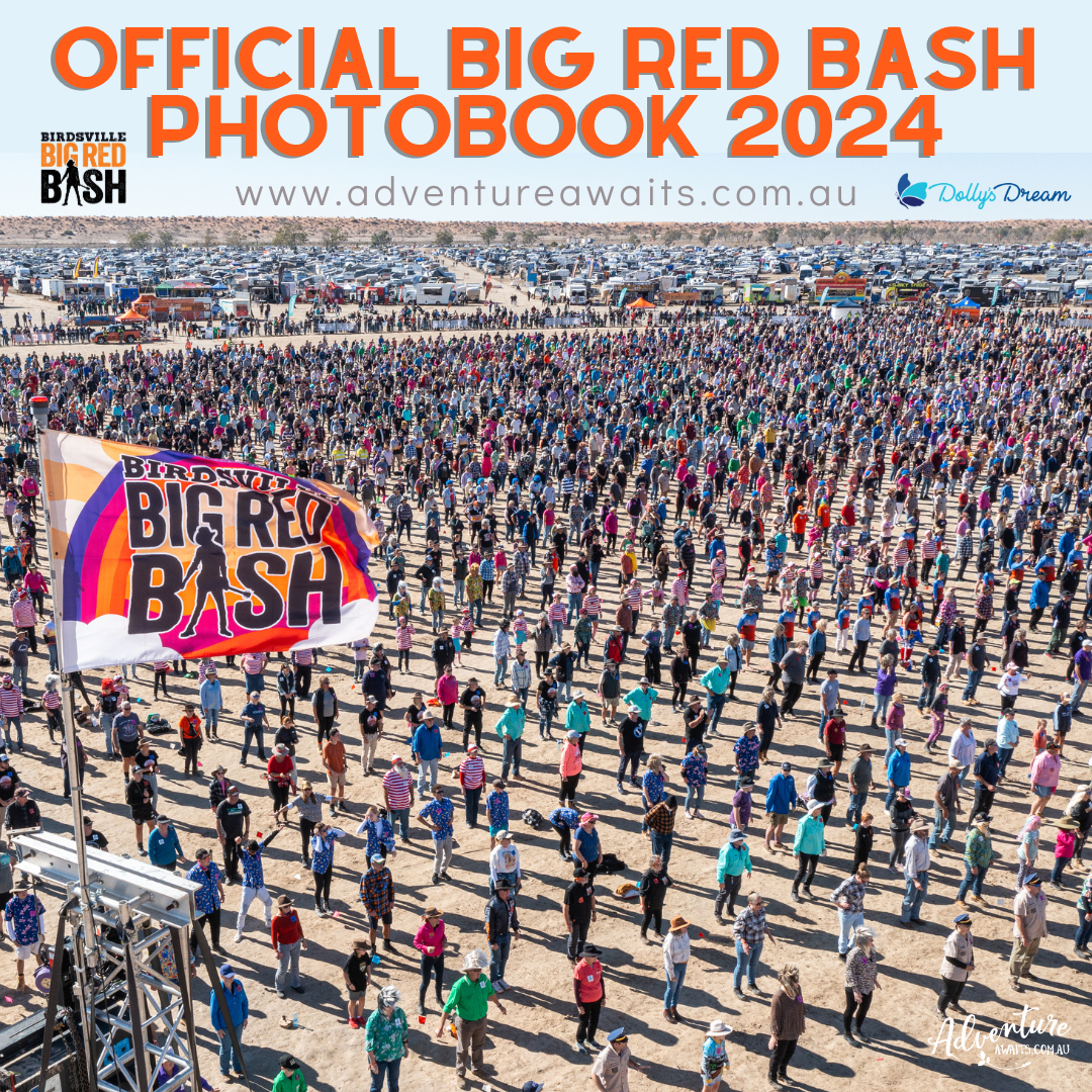
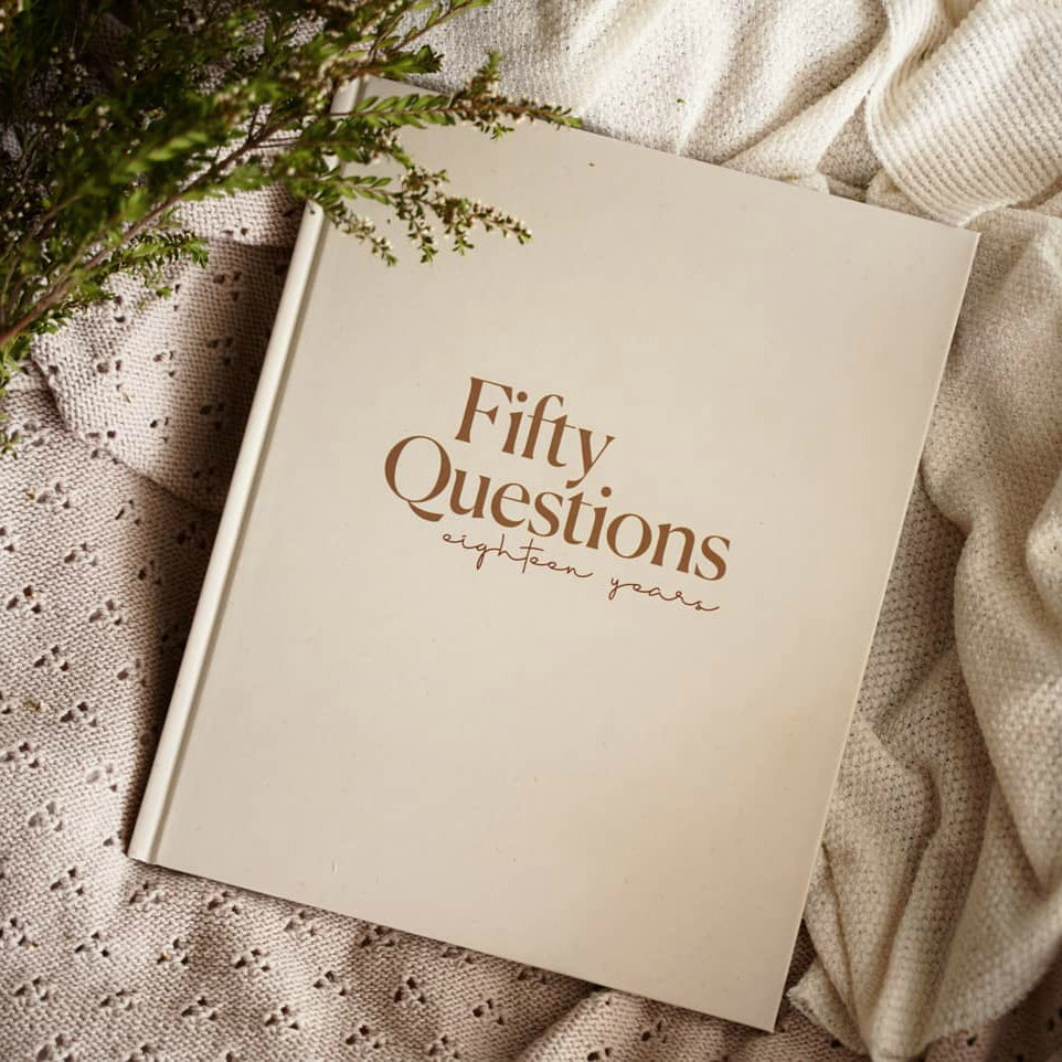
I am loving this book. The pictures are a lovely reminder of a fantastic time had. And is looked back on fondly. And a great quality book. Thank you.
And ordering was so easy.
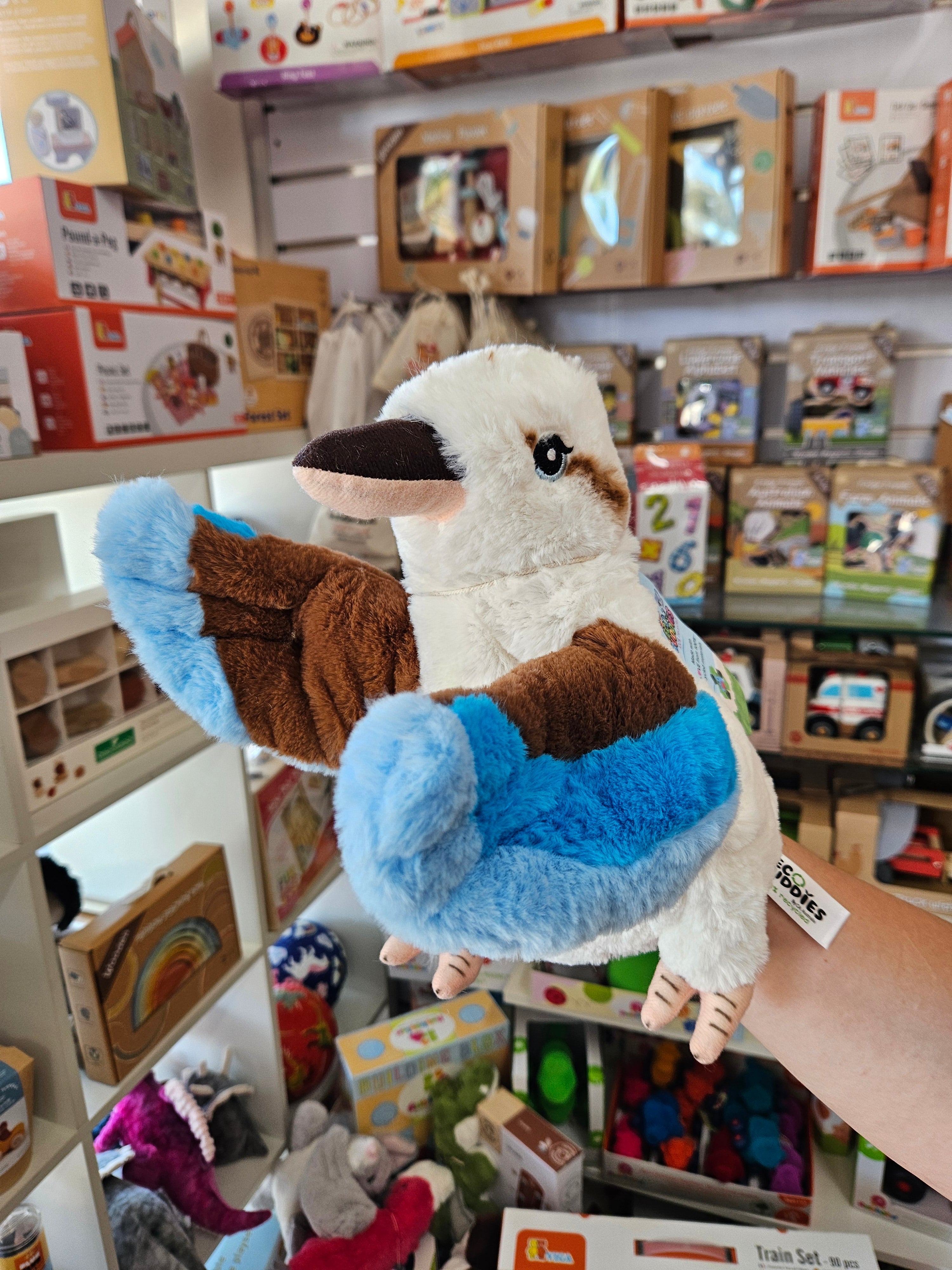
My kids absolutely love these hand puppets, we have individual characters developed for each one now and my kids even take on the Puppets persona when playing with them. Well made and super soft.