


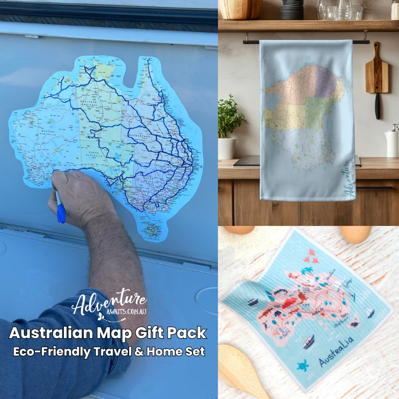





The tea towel was exactly what I expected.
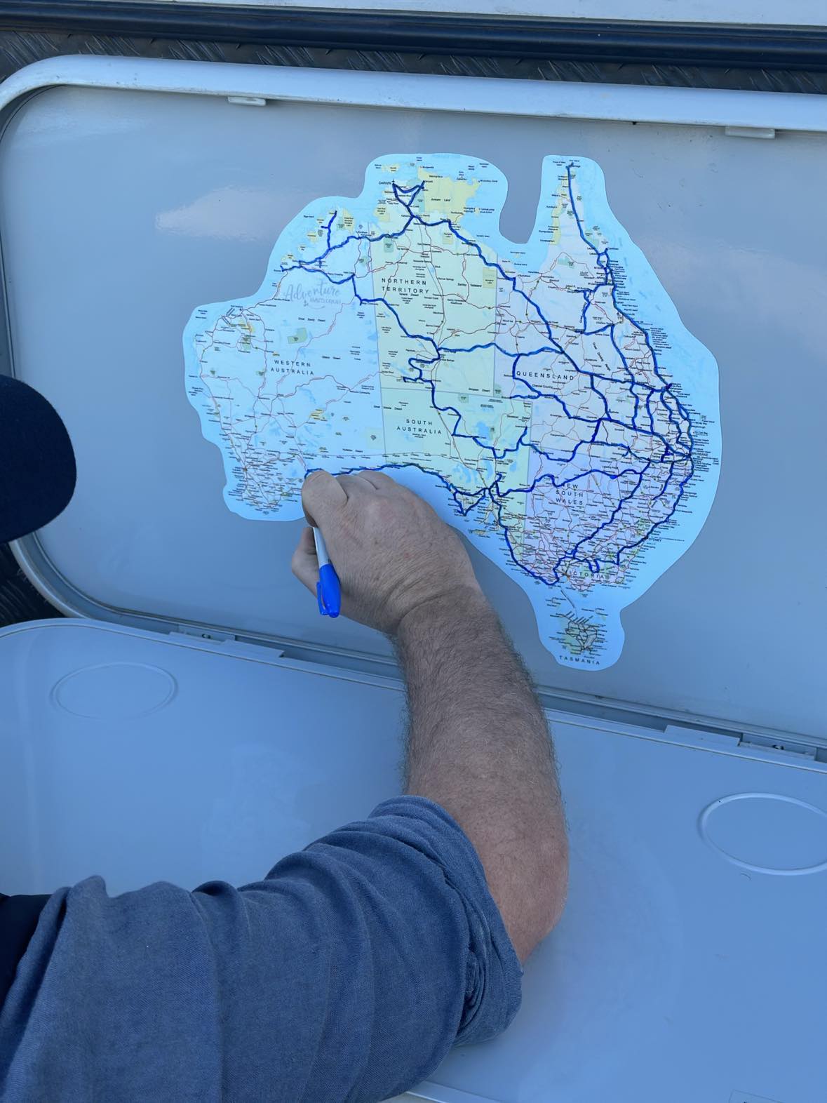
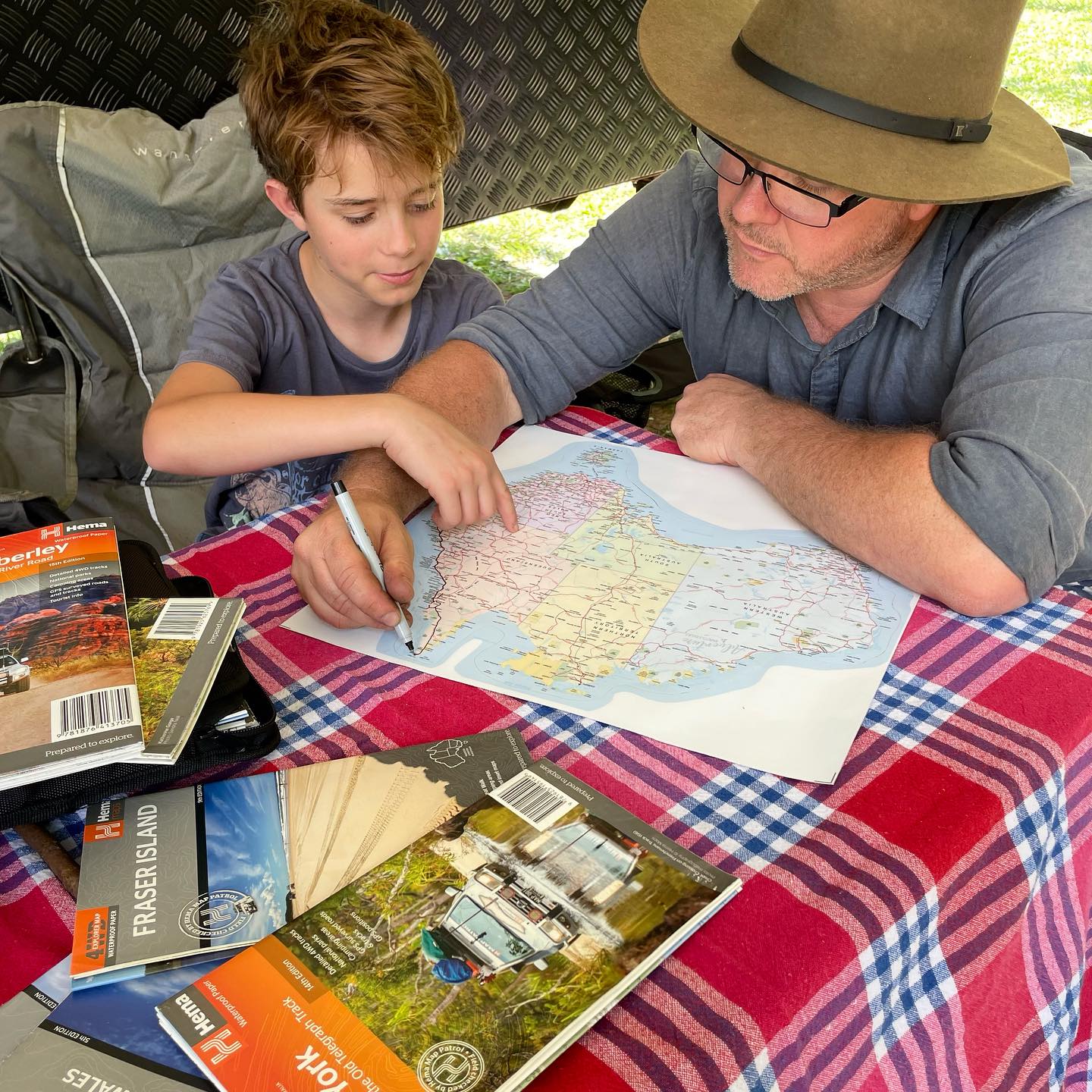
Although the UV Australian map disappointed me it hasn’t got a good detail of all the roads in Australia.
Thanks so much for your review, and we’re glad you loved the tea towel. 😊
Our Map of Australia Sticker is actually designed with selected major roads rather than every road in Australia. Because the map is made to be written on and marked with a Sharpie as you travel, too much road detail can very quickly turn it into a black, cluttered mess once your own journeys are added.
We completely understand that you were hoping for more road detail though, and appreciate you taking the time to share your feedback. 💛
I love the size and the service was wonderful
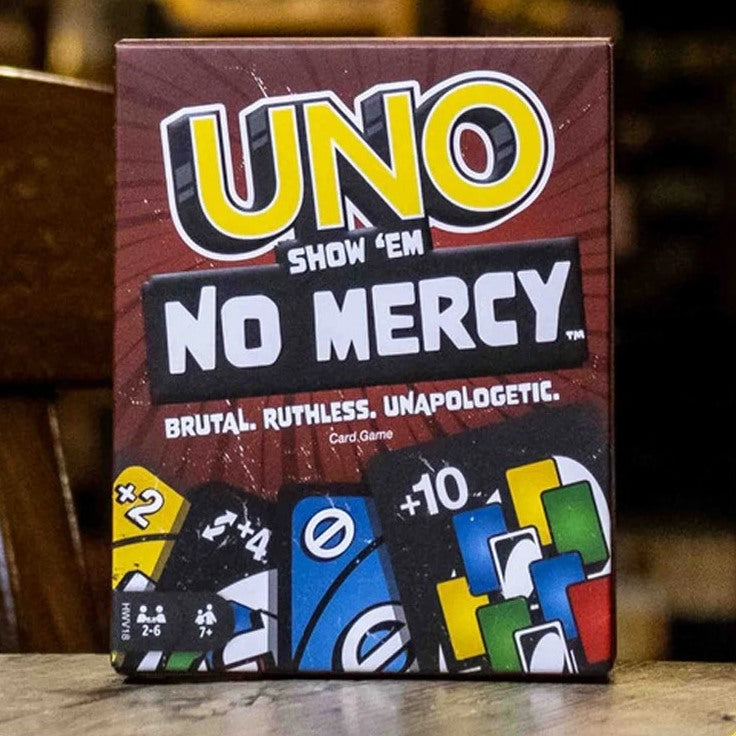
My boys love playing uno so I just had to get them this new version. They haven’t stopped playing it since it arrived. Thank you so much for the quick postage.
Hi Haley, we're so glad your boys are loving the new UNO game! Thanks for sharing your kind words and for shopping with us. Enjoy the game time!
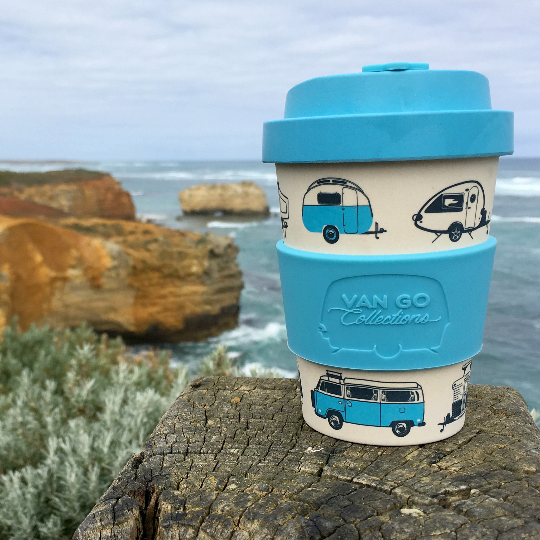
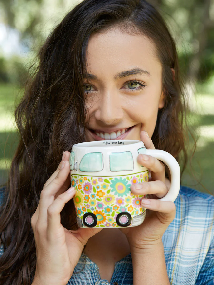
My daughter loves this mug. Super fast postage.
Hi Haley! We're so glad your daughter loves the mug. Thanks for your kind words and for shopping with Adventure Awaits!
I have the Rosella and it smells amazing. Will be buying more for Christmas presents for my sisters.
Hi Haley, we're thrilled to hear you love the Rosella scent! Thank you for choosing Adventure Awaits for your Christmas gifts. We appreciate your support and look forward to serving you again!