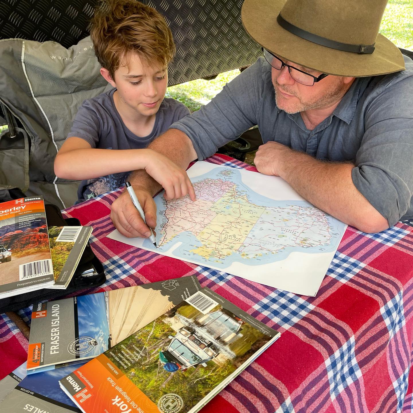
The Ultimate Map for Serious Outback Adventures 🚙
If you’re planning to tackle Australia’s remote heartland, the Hema Great Desert Tracks – Central Sheet (9th Edition) is a non-negotiable piece of gear. Designed for experienced travellers, 4WD explorers and remote-area adventurers, this map covers a vast stretch of central Australia with unmatched detail and reliability.
Check out all the Hema Maps here.
Spanning from Judbarra/Gregory National Park in the north to Ceduna in the south, and from Halls Creek in the west to Coober Pedy in the east, this map is purpose-built for navigating some of the country’s most iconic and challenging desert tracks.
Every road and 4WD route is field-checked by the Hema Map Patrol, giving you confidence where mobile coverage disappears and conditions can change fast.
🗺️ Iconic Tracks Covered
This Central Sheet includes legendary outback routes such as:
• Googs Track
• Nullarbor Plain
• Oodnadatta Track
• Anne Beadell Highway (East)
• Tanami Road
• Gary Junction Road
• Sandy Blight Junction Track
Perfect for long-distance crossings, tag-along trips, or carefully planned solo expeditions.
🧭 What You’ll Find on the Map
✔ Roads and 4WD tracks verified by the Hema Map Patrol
✔ Distance markers for accurate trip planning
✔ Topographical relief for terrain awareness
✔ 24-hour fuel locations
✔ Camping areas & caravan parks
✔ Facilities, services and points of interest
✔ Historical explorer routes
✔ Practical desert travel advice & contact information
💪 Built for Harsh Conditions
This map is printed on durable, waterproof paper, making it ideal for dusty glove boxes, map tables, and real-world outback use – not just planning at home.
📐 Specifications
• Edition: 9th
• Publication Date: 15/06/2022
• Scale: 1:1,250,000
• Folded Size: 140mm (W) x 250mm (H) x 6mm (D)
• Flat Size: 700mm (W) x 1000mm (H)
• Weight: 0.055kg
💡 Adventure Awaits Tip 🌟
Pair this map with a sat phone, PLB, and a Hema regional map for overlapping coverage. In the outback, redundancy isn’t overkill – it’s smart planning.