𝗬𝗼𝘂𝗿 𝗚𝘂𝗶𝗱𝗲 𝗧𝗼 𝗘𝘅𝗽𝗹𝗼𝗿𝗶𝗻𝗴 𝗤𝘂𝗲𝗲𝗻𝘀𝗹𝗮𝗻𝗱
Check out all our Maps here.
Somewhere north of Rockhampton your phone stops being a navigation device and starts being a torch.
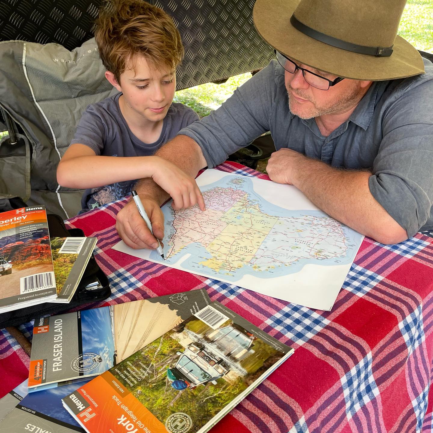
That's the case for a paper map, and it's a better one than it used to be. Queensland is big, coverage is patchy the moment you leave the coast, and a map that doesn't need charging, signal or a working USB port is the one you'll be glad of. It also does something a screen can't: shows you the whole state at once, so you can see where you could go rather than just the route you've already decided on.
The Hema Queensland State Map covers the lot on a single sheet at 1:2,500,000, and it's built for people travelling rather than just driving. Camping and rest areas are marked, 24-hour fuel stops are shown, national parks are highlighted and points of interest are scattered across the state. Working out where you'll sleep and where you'll fill up is the whole planning problem on a long lap, and this puts both on one page.
Flip it over and there's more: Brisbane CBD, Brisbane through roads, South East Queensland and Tropical North Queensland in detail, plus listings of national parks and visitor information centres. The through-road map alone earns its keep if you're towing and would rather not discover Brisbane traffic the hard way.
It's printed on waterproof paper, which matters more than it sounds. A map lives a rough life: shoved in a door pocket, opened across a wet bonnet, refolded at a servo in the rain, left on a camp table when the weather turns. Ordinary paper gives up after a season of that. This one shrugs it off and folds back down without tearing along the creases.
Fully indexed, folds down to 140mm x 250mm so it slides into a door pocket or a map wallet, and opens out to a full metre wide when you spread it across the bonnet.
Hema are an Australian company, and this map is produced and printed here too. They've been mapping this country for decades and theirs are the maps you'll find in the glovebox of every serious traveller. There's a reason for that.
🗺️ Why You'll Love It
✅ Produced and printed in Australia by Hema Maps
✅ Waterproof paper, built for life in the ute
✅ Whole of Queensland on one sheet at 1:2,500,000
✅ Camping and rest areas clearly marked
✅ 24-hour fuel locations shown
✅ National parks and points of interest highlighted
✅ Brisbane CBD and through-road maps on the reverse
✅ South East and Tropical North Queensland in detail
✅ Fully indexed for quick reference
✅ Works with no signal, no battery and no data
🎁 Perfect For
✅ Caravanners and campers doing a Queensland lap
✅ Four-wheel drivers and remote travellers
✅ Grey nomads planning the next leg
✅ Road trips, long weekends and school holidays
✅ Towing through Brisbane without the guesswork
✅ Trip planning at the kitchen table
✅ Anyone who's lost signal at exactly the wrong moment
📦 What's Included
1 x Hema Queensland State Touring Map, featuring:
Brisbane CBD map
Brisbane through-road map
South East Queensland map
Tropical North Queensland map
National park listings
Visitor information centre listings
📋 Product Details
Brand: Hema Maps
Product Type: Map
Edition: 13th Edition
Published: April 2023
Scale: 1:2,500,000
Paper: Waterproof
Folded size: 140mm x 250mm x 3mm
Flat size: 700mm x 1000mm
Weight: 68g
Format: Folded, fully indexed
Made in: Australia
❓ Frequently Asked Questions
What scale is it and what does that mean in practice?
1:2,500,000, which means one centimetre on the map is 25 kilometres on the ground. That's the right scale for planning a state-wide trip and seeing how the routes connect. For detailed navigation in one region you'd want a regional map alongside it.
How big is it when it's open?
700mm x 1000mm, so a full metre wide. It folds down to 140mm x 250mm, which slides into a door pocket, a seat-back pocket or a map wallet.
Is it really waterproof?
Yes, it's printed on waterproof paper rather than standard stock. It handles rain, a wet bonnet, spilled coffee and being refolded with damp hands, none of which ordinary paper survives for long. It's the reason these maps last years rather than a single trip.
Does it show free camps and rest areas?
Camping and rest areas are marked across the state, which is the feature most travellers buy it for. It's a state-wide touring map rather than a dedicated camping guide, so use it for planning your route and where to break the drive, then check the specifics on the ground.
Why bother with paper when I've got my phone?
Because Queensland is enormous and mobile coverage disappears well before the interesting bits do. A paper map needs no signal, no battery and no data, and it shows you the whole state at once, which is how you spot the detour you didn't know about.
Is this the current edition?
This is the 13th Edition, published April 2023. Hema revise their state maps on a regular cycle and we stock the most recent edition available to us at the time of ordering.
Is it Australian made?
It is. Hema are an Australian company and this map is produced and printed in Australia, which is not something you can say about most maps on the shelf.
Does it cover Cape York?
The state map covers the whole of Queensland, Cape York included, at touring scale. If you're actually heading up the Cape rather than planning around it, pair this with a dedicated Cape York map, since the tracks up there need far more detail than a state map can carry.
What's on the back?
Brisbane CBD, Brisbane through roads, South East Queensland and Tropical North Queensland, plus listings of national parks and visitor information centres. The through-road map is the one caravanners appreciate most.
🌟 Adventure Awaits Tip
Pair it with a Hema Atlas and Map Wallet and your maps stay flat, dry and findable instead of slowly disintegrating in the door pocket. Have a browse through our full Maps range for the other states and regions.