🗺️ Hema Tasmania Handy Map – Compact Travel Companion for Touring
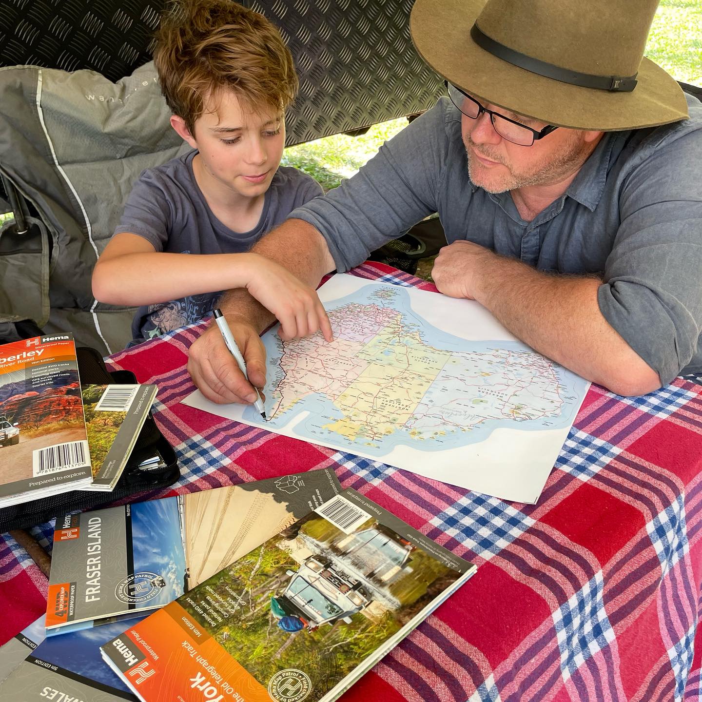
Discover the wild beauty of the Apple Isle with the Hema Tasmania Handy Map (11th Edition). Perfectly sized for easy reference, this compact touring map features a distance grid and full index, making travel planning simple and efficient.
Check out all the Hema Maps here.
The detailed mapping highlights highways, major and minor roads, camping sites, caravan parks, rest areas, picnic spots, 24-hour fuel stops, information centres, and scenic lookouts—all the essentials for planning your next Tasmanian adventure.
Whether you’re road-tripping through Cradle Mountain, exploring the East Coast beaches, or visiting Hobart and Launceston, this waterproof, lightweight, and fully indexed map ensures you won’t miss a thing.
💖 Why You’ll Love It
-
Compact & Portable – Handy size, perfect for travel on the go.
-
Touring Made Easy – Includes roads, highways, and distance grid.
-
Camping Essentials – Shows campsites, caravan parks & rest areas.
-
Extra Detail – Includes fuel stops, lookouts, and information centres.
-
Trusted Hema Quality – Clear, reliable, and designed for adventurers.
📏 Product Details
-
Title: Hema Tasmania Handy Map
-
Edition: 11th
-
Scale: 1:480,000
-
Publication Date: 15/01/15
-
Folded Size: 125mm x 250mm x 3mm
-
Flat Size: 500mm x 875mm
-
Weight: 0.05kg
-
Features: Camping, caravan parks, rest areas, fuel stops, indexed
🏕 Adventure Awaits Tip
Slip this compact map into your day pack or glovebox it’s the perfect backup to GPS when exploring Tasmania’s more remote regions.